The Sturgeon River flows from Big Lake, eastward through
downtown St Albert and (eventually) dumps into the North Saskatchewan. I've always wanted to paddle this but doubted it was doable in a canoe (maybe a kayak). We were out today cycling along the river and saw two canoes in the water so (proven wrong) I dug out my pictures
from last summer.
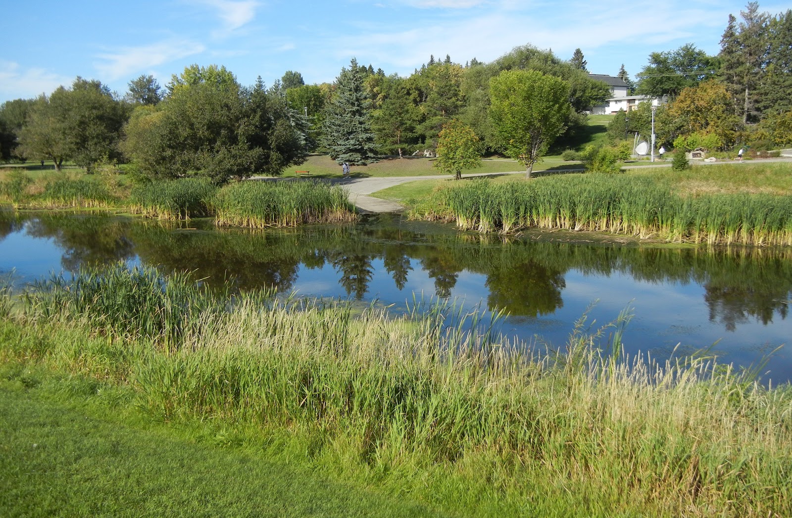
There is a boat launch in downtown St Albert (see above), on the north
side of the river. Access is off Mission Avenue and it is just across from St
Albert place. Alas, the cement runs out long before you get to water so there
will be slogging until you get enough depth to float.

A second (informal) put in is on the south side of the
river, about 100 feet downstream from the Ray Gibbins Drive Bridge. Access is from the
Kinsmen RV campground (there is parking in the roundabout) and there is a dirt
trail down to the water through the grass. I did not wander down today to see how the access was.

It may also be possible to put into Big Lake (above) on the south
side, although all of the approaches from here seem hooped because of the low
water levels and long mud flats.
Paddling is best between Big Lake and the trestle railway
bridge by the ball diamonds and St Albert Senior Citizens Club. This is about 2 km long (at a guess) and there is lots of waterfowl (including young today). There are
multiple bands of forest and fields and apparently good fishing. Big Lake is
also navigable, although often windy.

Downstream from the trestle bridge, the river passes through
St Albert and under St Albert Trail. This was navigable today (there were
canoes here) but the paddlers could not get the entirety of their blade into
the water, especially passing under St Albert Trail—I’d guess there was about three inches of water beneath their
keel and there is a good chance of running aground. The current is not very strong, but pushing off a deep muddy bottom would be a chore.
The river looked passable as far down as Boudreau Road (so a total of maybe 3 km downstream of the trestle rail bridge).
Here, there were multiple beaver dams on the river, which would require a muddy
dismount to get over. My guess is the mud at the bottom of the Sturgeon is effectively bottomless and quite sticky. My understanding from other paddlers is that, further
downstream, you run into a morass of dams and quasi oxbows--a trip best avoided.